
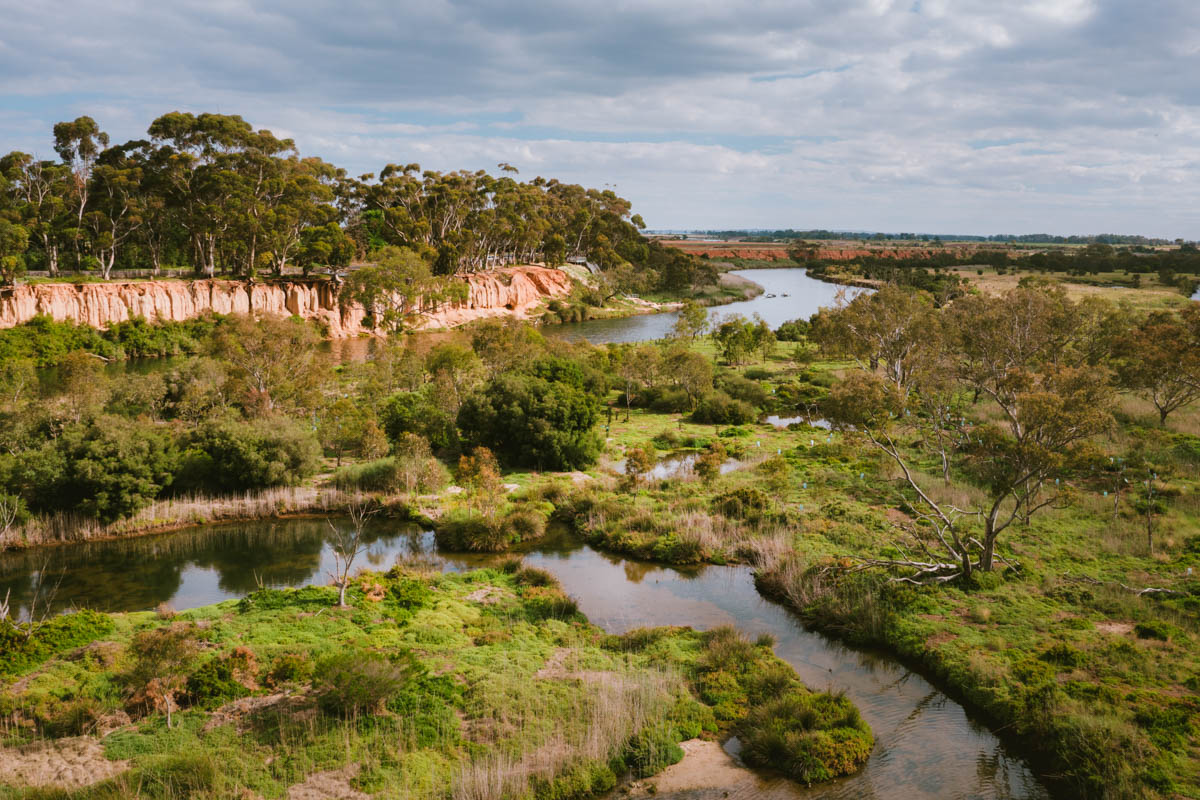
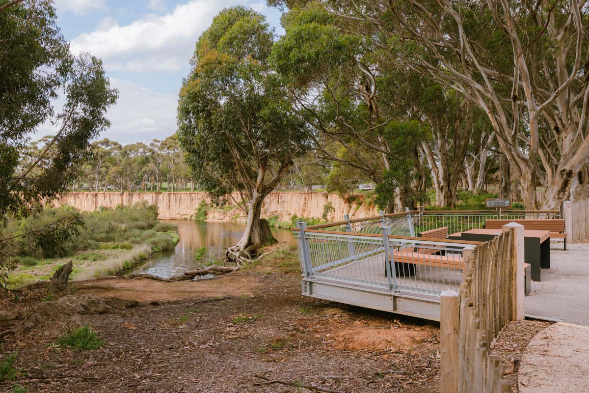
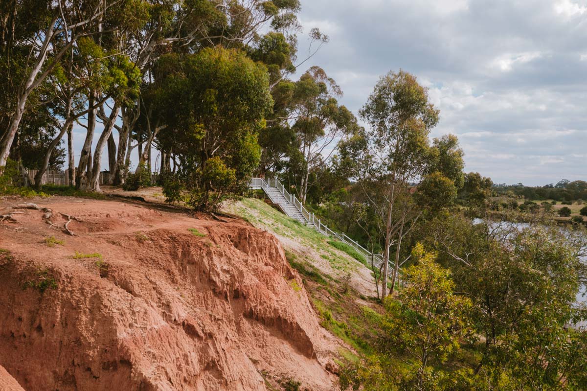
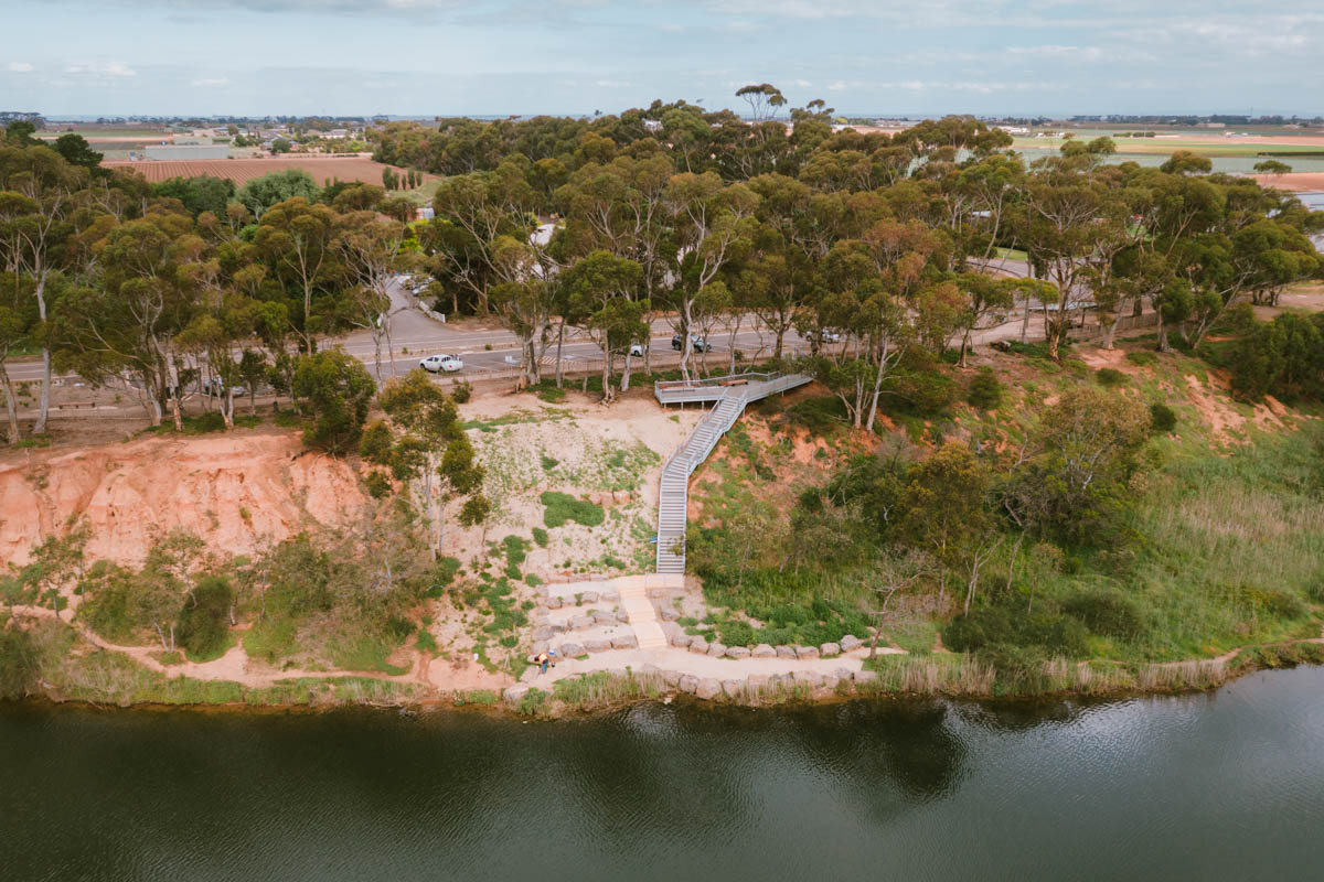
A listed Ramsar site of substantial biological diversity and significance, K-Road Cliffs overlooks the Werribee River and floodplain. It is the tallest clay-profile cliff site in Victoria, which also makes it geologically unique.
Managed by the City of Wyndham in association with Parks Victoria and Melbourne Water, it is a site of high visitation owing to its breathtaking beauty, tranquillity and popularity with birdwatchers. However, decades of unrestricted access and car parking in proximity to the cliff- tops had compromised the sensitive ecologies and rendered areas of the site significantly dangerous.
Produced in consultation with the site stakeholders, the Urban Initiatives Master Plan analyses existing conditions to establish objectives which facilitate enjoyment of this exceptional site, as well as measures which provide protection to ensure it is enjoyed well into the future.
Following the endorsement of the Masterplan, Urban Initiatives was engaged to undertake detailed design and documentation of the works to improve visitor experience for walking, picnicking, bird-watching and fishing.
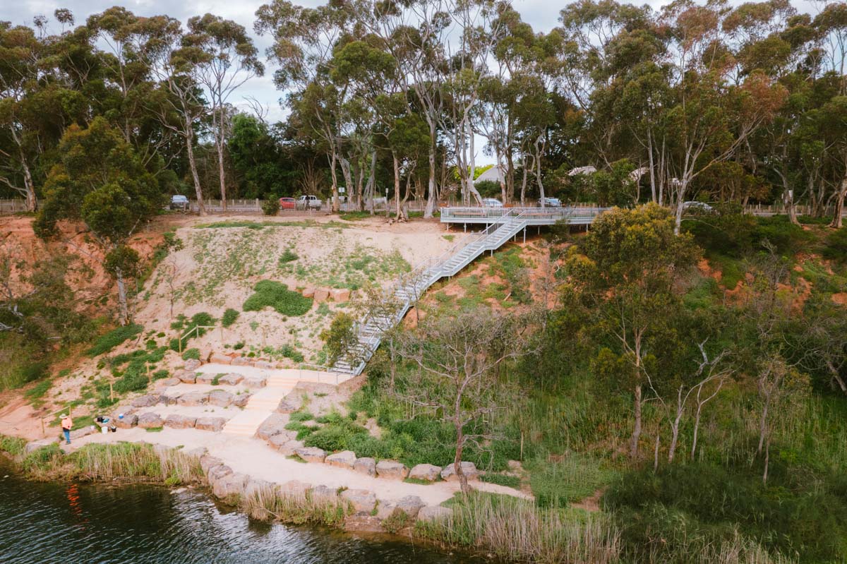
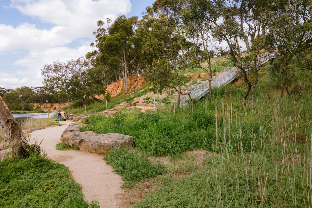
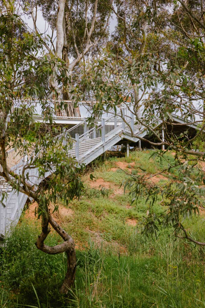
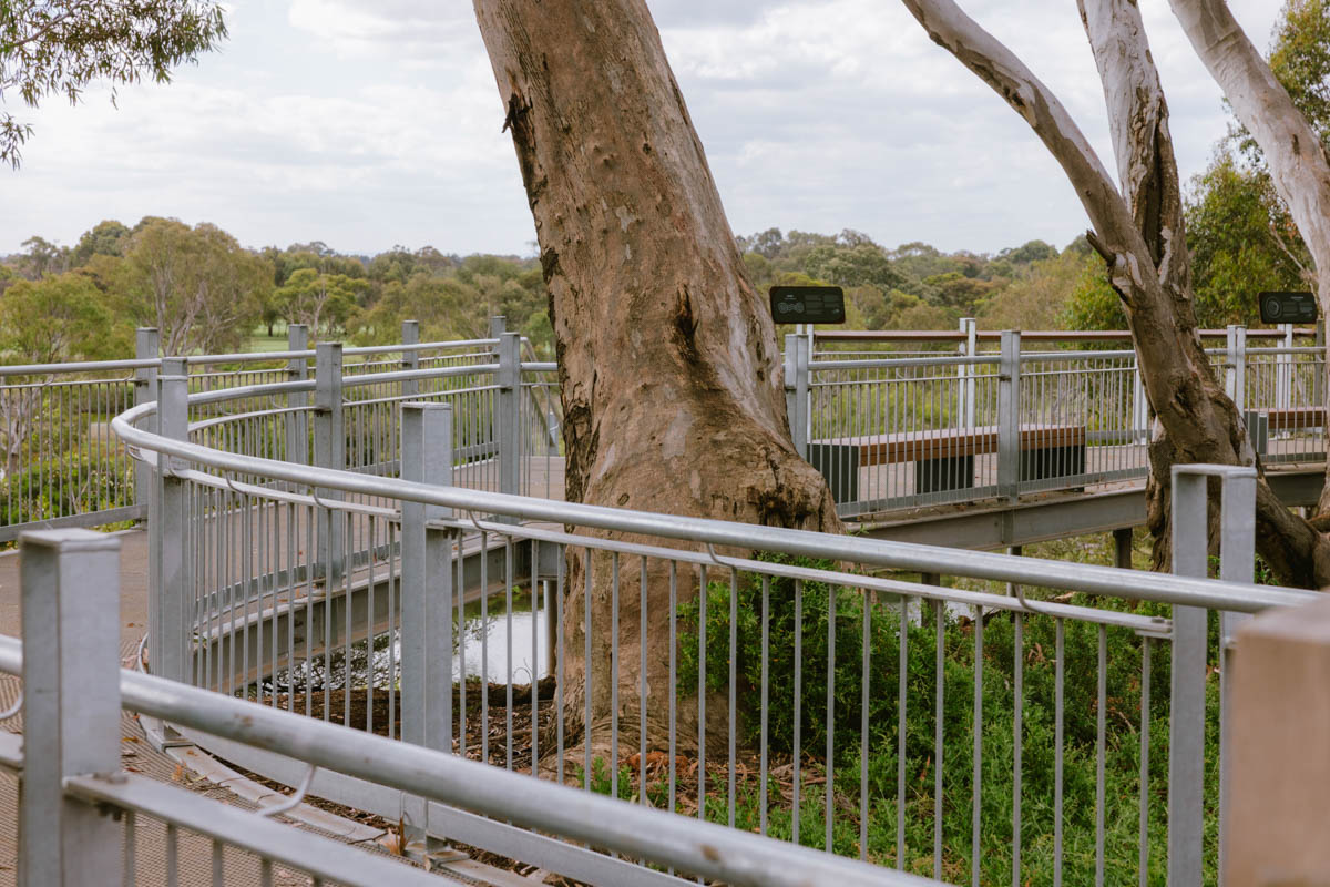
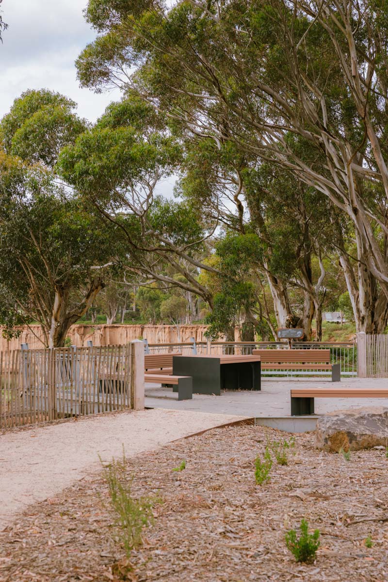
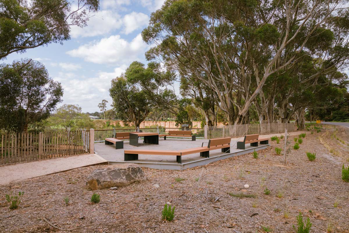
The works included modifications to the overland flow path reduce cliff-top erosion, preserving the stunning ochre cliff-faces and indigenous vegetation. Formalised vehicular and pedestrian circulation defines setbacks for car parking from the cliff-top and ensures visitor safety, along with the provision of new access steps, cliff top lookouts, picnic facilities and improved car parking areas.
The fragility and rarity of the site is also communicated through an interpretive strategy and signage for the site which acknowledges traditional Aboriginal ownership, post-settlement changes to the landscape and environmental information.
Location
Werribee South, Victoria
Role
Lead Consultant
Client
City of Wyndham
Construction Budget
$3 million
Traditional Owners
Bunurong People

Photographer
Lewis Robert